

2
3
World Bathy Map MKII (Blues)
World Bathy Map MKII (Blues)
- Regular price
- £36.00 GBP
- Regular price
-
- Sale price
- £36.00 GBP
- Unit price
- per
Sold Out
Tax included.
It is often cited that we have mapped more of the surface of Mars than earth's seabed. Using innovative methods such as satellite altimetry, we are now able to reveal the shape of the seabed to the greatest depths.
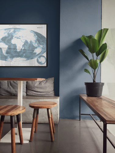
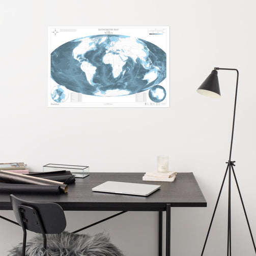
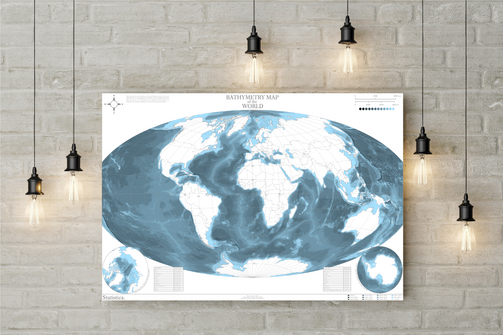
The World Bathymetry Map MKII by Statistica categorises the seabed into depth ranges shown by colour to produce a map like no other, focusing entirely on the oceans and leaving the continents blank, with a minimalistic look. MKII features a refreshed design with additional polar stereographic sub-maps, stats on country sizes by area and population, and extra map paraphernalia.
Museum-quality posters made on thick and durable matte paper sourced from Japan.
• Paper thickness: 10.3 mil
• Paper weight: 5.57 oz/y² (189 g/m²)
• Giclée printing quality
• Opacity: 94%
• ISO brightness: 104%
Couldn't load pickup availability